 marinepoint


Electronics and cartography: sailing the Balearics with real information
2026-07-21 · Marine Point
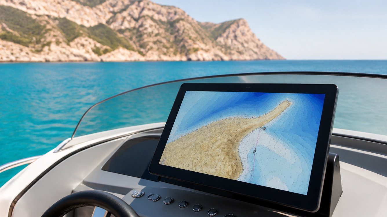
Between Mallorca, Menorca, Ibiza and Cabrera lie some of the best waters in the Mediterranean — and also treacherous shallows, marine reserve buoy fields and heavy summer traffic. Electronics don't replace good judgement, but they give it real information to work with.
Cartography: the first thing, and the cheapest
Outdated cartography is worse than none: it breeds false confidence. The Navionics electronic charts we distribute are continuously updated and include detail on the islands' coves, depths and regulated zones — essential with the marine reserves, whose limits and buoys change more than you would think. If your plotter has been running the same card for years, updating it is the best cost-to-safety upgrade there is.
The depth sounder you will actually use
For anchoring in coves, more important than a screen with a thousand colours is a reliable depth sounder with the shallow alarm set. Combined with detailed cartography, it lets you enter an unfamiliar cove in poor light knowing what is underneath.
AIS: be seen
In summer, the channel between Mallorca and Ibiza looks like a motorway. An AIS transponder means ferries and cargo ships see you with a name, course and speed — and you see them. For anyone crossing at night or in occasional fog, it has gone from luxury to common sense.
And the foundation of it all: power
All the electronics in the world are useless with a flat battery. Check terminals, resting voltage and, if you are adding equipment, consider separating the service battery from the starting battery.
Find electrics, batteries and accessories in our store, and if you are not sure what your installation needs, tell us about it: we will point you in the right direction based on your boat and your sailing area.